


Map Downloader V2
V1 of my map downloading script worked well, but it was confined to command line use which limited it's usability.
This new version uses the NiceGUI UI framework for Python to create a web-based interface for the download logic.
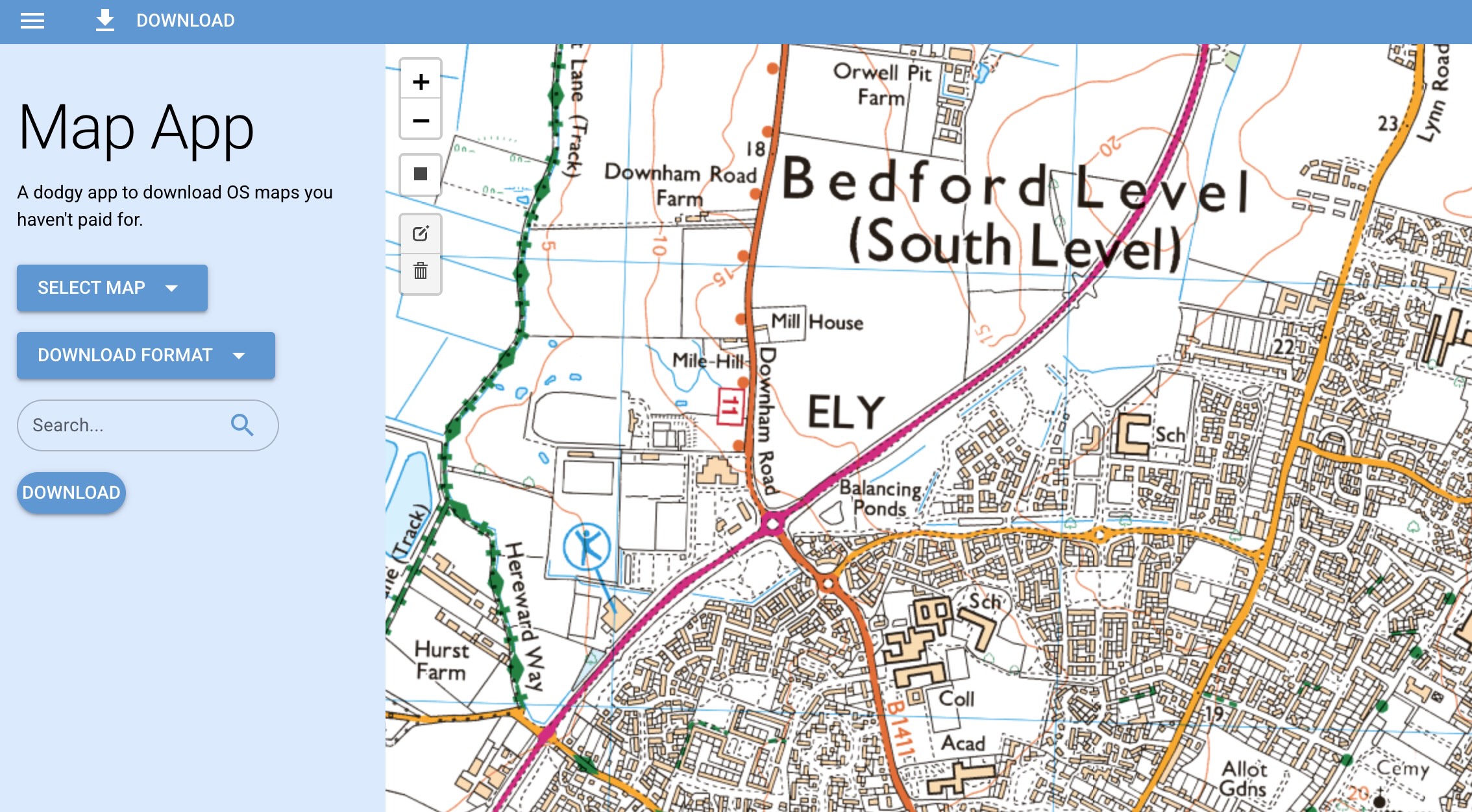
Code Structure
For readablity, I've separated out the dataclass declarations, tilemap data, and utility functions into their own files and imported them into the main file.
classes.py
Tiles:
x_min: int = 0
x_max: int = 0
y_min: int = 0
y_max: int = 0
AppState:
lat: float = 0.0
lon: float = 0.0
zoom: int = 15
url_pattern: str = tile_maps[0].url
format: str = "png"
tile_search_progress: float = 0.0
tile_download_progress: float = 0.0
tile_stitch_progress: float = 0.0
status: str = ""
filename: str = "output.png"
tile_maps.py
Tile properties for all the various tile maps are stored in tile_maps.py
name: str
url: str
min_zoom: int
max_zoom: int
utils.py
utils.py is home to various constants.
- geocode_place
- Uses the geocode.maps.co api to convert place names and postcodes to latitude and longitude.
- deg2num
- Takes latitude and longitude and zoom level, and returns the X and Y tile coordinates.
- rect_coords_to_tiles
- Converts 4 sets of latitude and longitude (bounding box corners) and returns the corner tile coordinates. The corners are labled in the order: bottom left, top left, top right, bottom right.
- find_latest_tile
- Checks for existance of a tile at a URL and returns the X and Y tile coordinates along with the URL.
- donwload_tile
- Saves tile images locally as PNG files.
- stitch_in_chunks
- Join the saved PNGs together in a grid and export the resulting image to a file.